Mountain
Ulldeter Refuge from Vallter: A First High-Mountain Walk
Walk to the current Ulldeter refuge from the Vallter road, with a clear turnaround, snow-free conditions and a separate longer-route option.
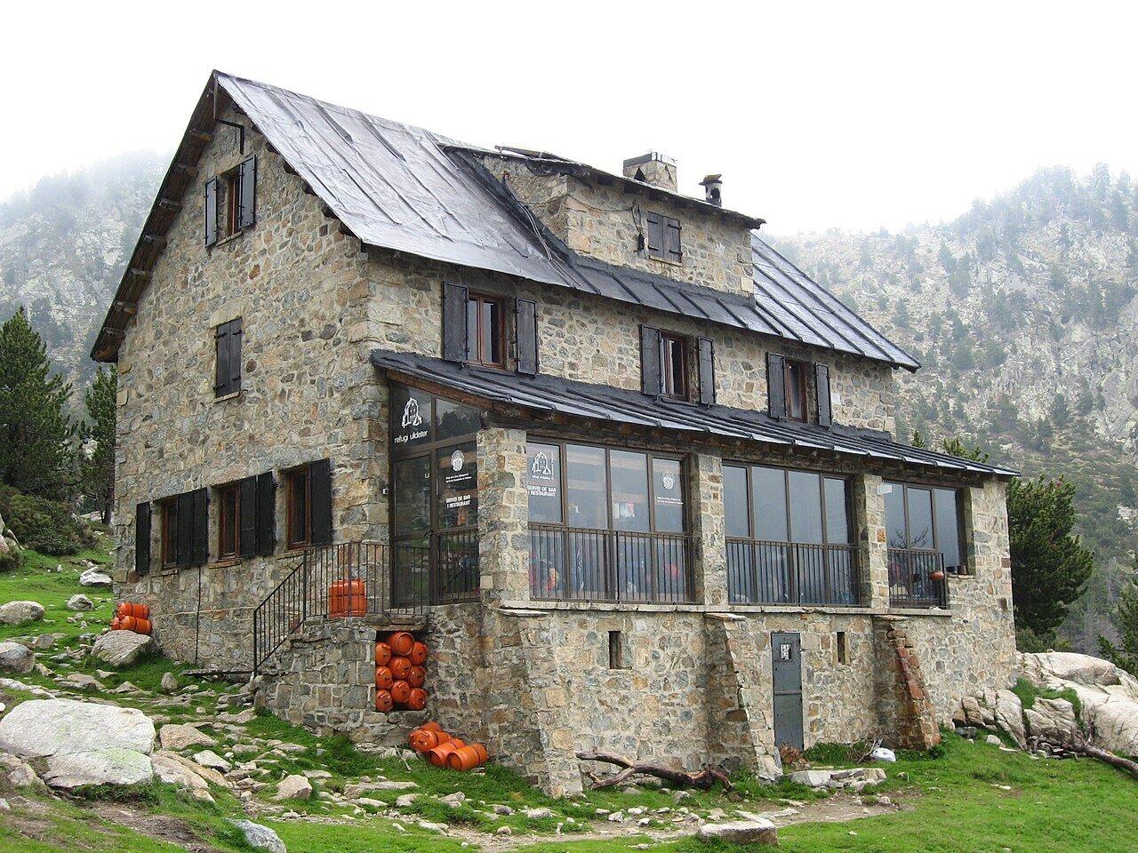
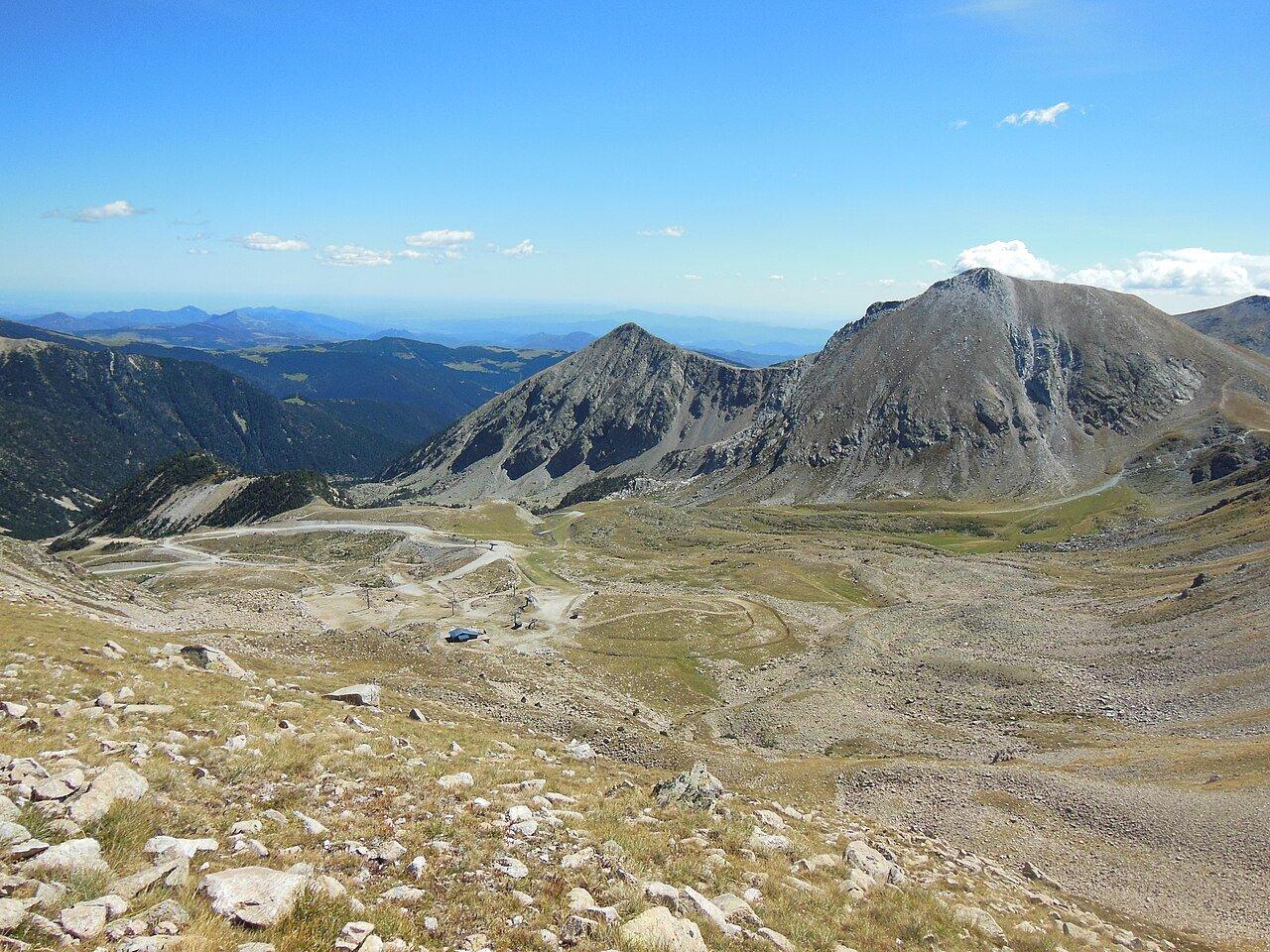
Ulldeter’s current refuge is a useful first destination above 2,000 metres: a short climb from the road below Vallter, a clear place to pause and a return by the same path. Bastiments and Gra de Fajol rise around the valley, but neither summit belongs to this walk.
Route card: road-bend parking below Vallter → Refugi d'Ulldeter → same parking. Allow approximately two kilometres return and around 150 metres of ascent as a planning estimate, with 60–90 minutes of walking and another 30–45 minutes for stops. The ground is a mountain path, not a paved family promenade. Choose a snow-free day with a stable forecast; bring food, water and layers. There is no walking admission charge, while transport and any refuge meal are extra.
Find the refuge path before reaching the ski station
Approach through Setcases on the road towards Vallter. The signed walking start is below the upper resort parking, so save the trailhead location before driving and watch the bends carefully. The natural park's Ulldeter route sheet shows the access, parking and wider circuit. Download the map in advance; finding a web page at the roadside is not a reliable navigation method.
The route sheet marks a small parking area. Arrive early and use only lawful spaces; if these are full, return to Setcases for a lower-valley outing. Starting from a different ski-area car park changes the approach and distance.
Public transport to the valley does not automatically provide a connection to this trailhead. A car or a prearranged local transfer is the practical default. Agree the return pickup and a method of contact before setting off; allow for weak phone coverage and do not make the driver's arrival depend on a last-minute message.
If this walk is part of a trip starting in Girona, compare car hire there with enough collection and return time for the mountain drive. Keep the weather decision separate from the rental booking.
Let the refuge be enough
Follow the signed path towards the current refuge, keeping the group together at junctions. The ascent is short by mountain standards but takes place above 2,000 metres, where a cool start can conceal strong sun and wind. Take smaller steps, stop before anyone is exhausted and use the return along the same path as the day's default.
The refuge's own description distinguishes the present building from the remains of its predecessor farther up the valley. The building reached on this short walk is the destination. The old ruins, the source of the Ter and the routes towards Coll de la Marrana all require a separate decision to continue.
Rest clear of the refuge entrance. Buy drinks or lunch through the staffed service, and carry all rubbish back down; the refuge does not provide a rubbish collection service.
Information checked September 2026. The operator lists a bar and food service, with lunch between 13:00 and 15:00, but staffing dates still need checking against its calendar. Confirm a meal directly before relying on it, especially outside busy weekends. Carry your own water and food even with a reservation. An editorial €20–30 per person is a meal allowance, not a verified set-menu quotation.
The longer Ulldeter circuit is a separate route
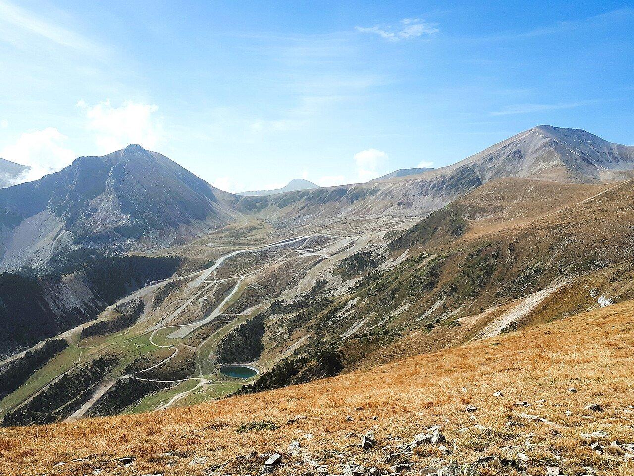
The park describes a 4.5-kilometre circular itinerary continuing beyond the refuge and passing the old refuge remains. Its published moving-time estimate should not be read as a total outing time for a first-time group. Allow roughly 2.5–3 hours with pauses and navigation, and only add it when everyone has suitable footwear, energy and settled weather.
Read the map before the junction where the two plans diverge. The short out-and-back and the longer circuit cannot share the same promised distance or finish time. If one person has been struggling on the initial climb, return together from the refuge. Keep the group together on the descent.
Bastiments and Gra de Fajol require separate summit plans. Keep them as landmarks while returning to the car on this first visit.
Snow, cloud and thunderstorms change the answer
This description applies to clear, snow-free conditions. Remaining snow can make a modest path into terrain requiring equipment and experience beyond this plan. If the path is icy, visibility is poor or the forecast includes storms during your walking window, choose a lower destination. Do not use the refuge as a justification for starting in unsuitable weather.
Check Meteocat before leaving and reassess the wind, cloud and ground at the trailhead. Carry layers, water, food and the downloaded map. In an emergency, call 112.
Children need an adult's attention at the path's rougher sections, and dogs should be managed according to the park's current rules and signs. The route is unsuitable for ordinary pushchairs and should not be presented as wheelchair accessible. Trekking poles may help on the descent, but they do not replace stable footwear or justify walking onto snow.
Allow time for the winding drive down to Setcases before a restaurant reservation. A drink in the village makes an easy final stop after the descent.
Related guides
- Matagalls from Collformic: Route and Turnaround Points
Plan the Matagalls ascent from Collformic with trailhead logistics, effort estimates, weather checks and clear reasons to turn back.
- Puigmal from Vall de Núria: Rack Railway Hiking Plan
A summit-day plan for Puigmal from Vall de Núria, with rack-rail timing, turnaround rules, altitude, and weather fallbacks.
- Pedraforca Hiking Routes: Choose a View Walk, Circuit or Summit
Choose the right Pedraforca day by comparing a moderate Saldes viewpoint circuit, the full mountain circuit, and the technical summit.
Are you in the know?
Receive new articles, local updates, and occasional offers from selected partners. We never share your email address. Unsubscribe at any time.
By subscribing you agree to our privacy policy.