Mountain
Tossal de la Baltasana from Prades: A Forest Hike
Plan the wooded ascent from Prades to Tossal de la Baltasana with route choice, distance, weather, water, navigation, and turnaround points.
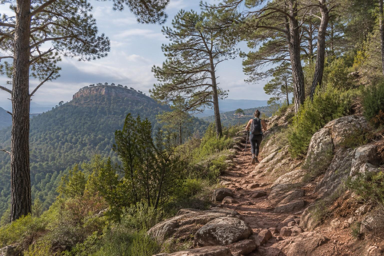
Tossal de la Baltasana is not a technical summit, but the forest makes careless navigation easier than the height suggests. The useful route begins and ends in Prades, climbs through woodland to the highest point of the Prades Mountains, and returns with enough margin to deal with heat, fog, or a wrong turn.
- Start and finish: signed parking in Prades; do not block old-town access.
- Typical circuit: about 10–13 kilometers, depending on the chosen loop.
- Effort: roughly 350–500 meters of ascent and three to four and a half hours moving.
- Allow: five hours with navigation and summit stops.
- Carry: offline track, map, 1.5–2 liters of water, sun and rain layers, food, and a charged phone.
The regional Costa Daurada Mountains hiking portal is the starting point for current route material. Match the downloaded route to the junctions you intend to use; several local tracks share the forest.
Leave Prades with the return line saved
Photograph the parking location, start the track before leaving reception, and identify the first two junctions. The village has food and water; the ridge should not be treated as a reliable resupply point. In summer, begin early enough to descend before peak heat.
Woodland shade is helpful but incomplete. Fire restrictions, forestry work, hunting notices, or storm damage can change access. A barrier or closure is not an invitation to improvise a parallel path.
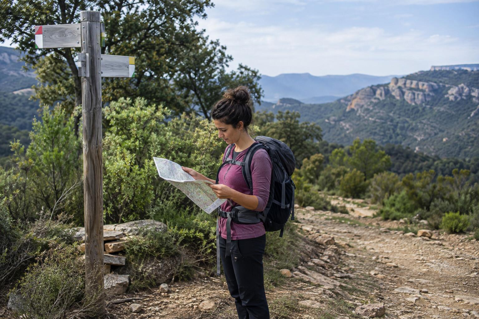
The forest asks for attention at every junction
The ascent alternates tracks and narrower paths. Check position after each major turn, especially where broad forestry roads feel more obvious than the marked route. If the phone track and signs disagree, stop and resolve the route rather than walking farther in hope.
Set a turnaround time based on daylight and the slowest person. Reaching the summit late is not a reason to descend faster on loose ground. When visibility drops, the summit view disappears but navigation risk remains.
Compare compact car hire for reaching Prades only after checking the pickup and return windows. Public transport can be limited enough that the entire hike depends on the exact day.
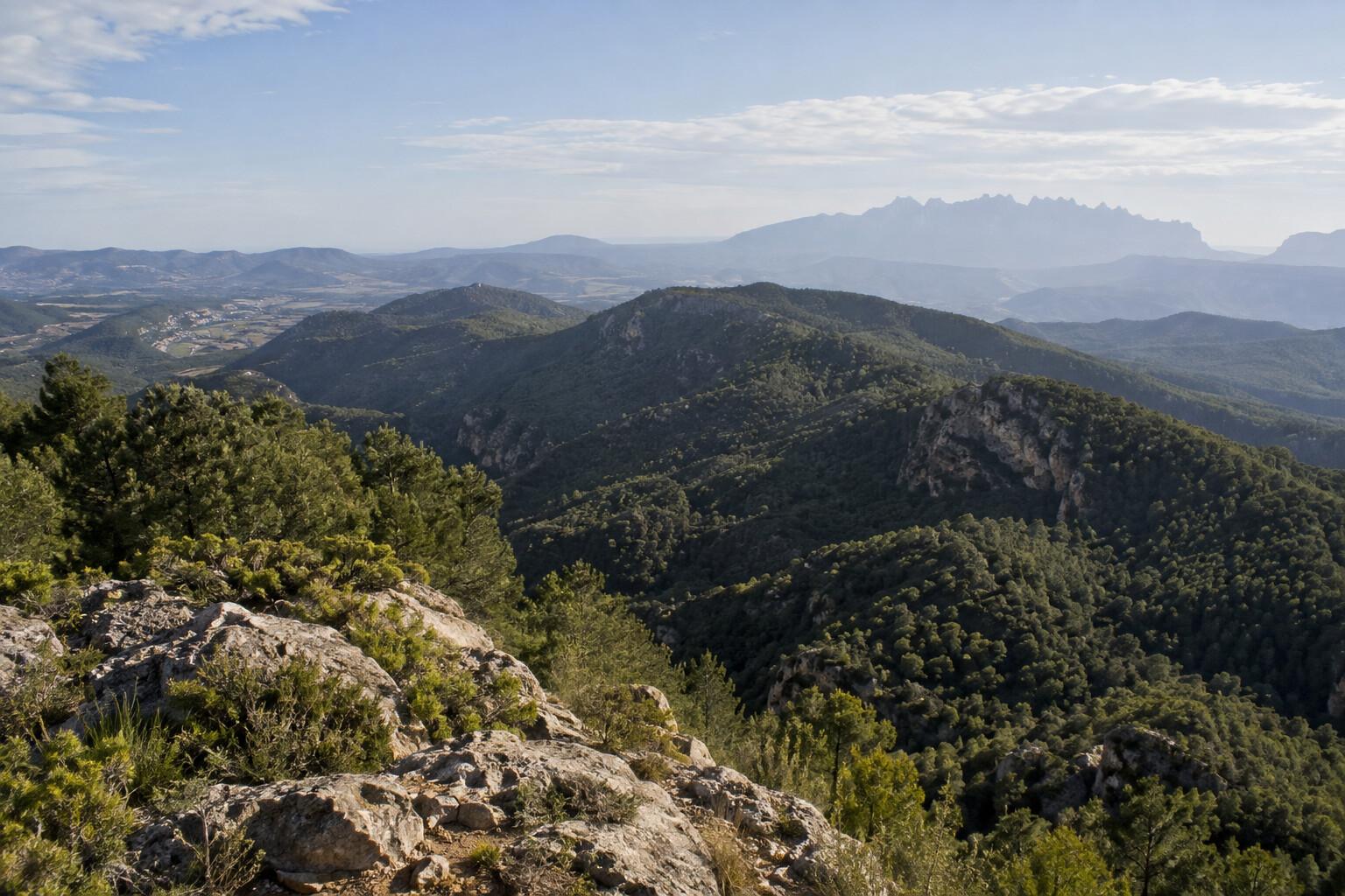
Baltasana is a pause, not permission to relax
The summit area gives broad views in clear conditions. Add a layer before cooling, eat, and confirm the descent bearing. Strong wind, thunder buildup, or smoke should shorten the pause immediately.
Do not stand near exposed points in lightning. If thunder is forecast for the afternoon, the correct response is an early short circuit or no summit attempt, not a quicker lunch.
Choose the descent by footing and certainty
A circular return adds variety but also more junctions. An out-and-back is less elegant and often safer when navigation confidence, fog, or daylight has deteriorated. Protect knees on loose sections and keep the group together.
If someone is struggling, turn back before the summit. Prades itself supports a good day through the old center and a meal; the walk does not need to be forced to justify the drive.
Cost and mountain manners
Walking is free, but allow €15–30 per person for fuel contribution and parking-related costs, plus €20–40 for lunch. An overnight room changes the budget but materially improves an early start.
Stay on the route, carry every wrapper out, keep dogs controlled, and yield to working vehicles. Autumn mushroom season brings more cars and people into the forest; do not assume the quiet road will remain empty.
The hike's appeal is its gradual transition from red-roofed Prades to a wooded high point. Make navigation and heat decisions early, and that transition remains enjoyable in both directions.
Related guides
- Pedraforca Hiking Routes: Choose a View Walk, Circuit or Summit
Choose the right Pedraforca day by comparing a moderate Saldes viewpoint circuit, the full mountain circuit, and the technical summit.
- Cadí-Moixeró Hiking Guide: Planning a Responsible Pyrenees Day
Prepare for a day walk in Cadí-Moixeró Natural Park with realistic route choice, weather checks, and mountain safety.
- Montserrat with Limited Walking: Railway, Funicular and Viewpoints
Build a lower-effort Montserrat day around the adapted rack railway, sanctuary-level stops and an honest access check before the Sant Joan funicular.
Are you in the know?
Receive new articles, local updates, and occasional offers from selected partners. We never share your email address. Unsubscribe at any time.
By subscribing you agree to our privacy policy.