Mountain
Taga from Ribes de Freser: A Serious Summit Day
Assess the long ascent of Taga from Ribes de Freser, including effort, weather, navigation, and a lower-level fallback.
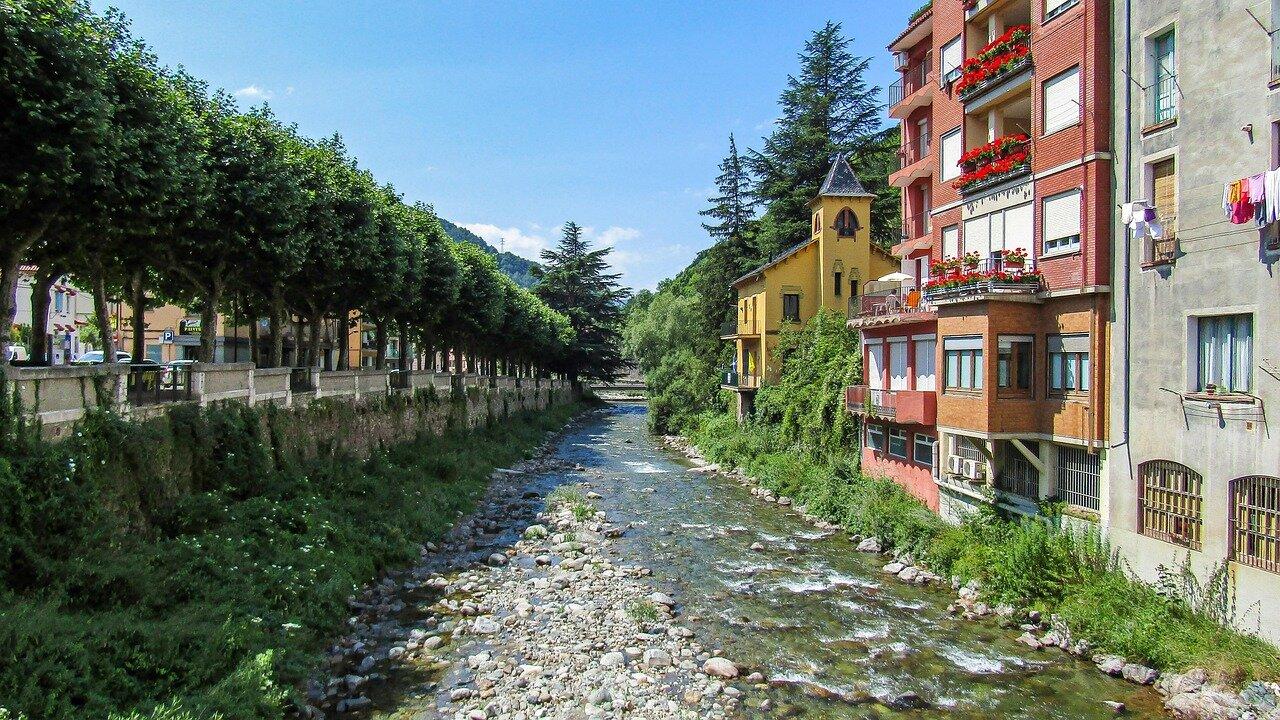
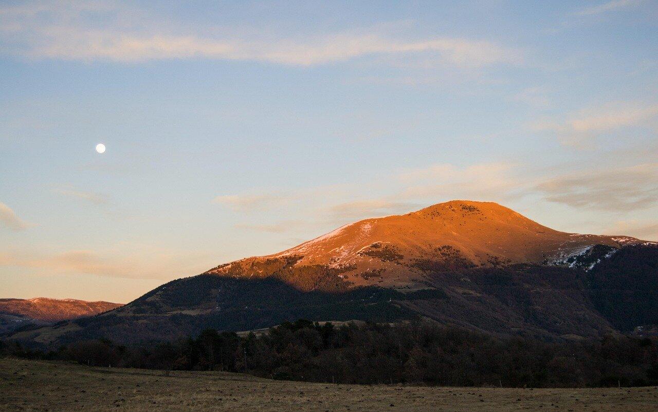
Taga’s rounded summit appears forgiving from below, but climbing it from Ribes de Freser is a full mountain day with substantial ascent and exposed upper ground. The R3 railway makes the town reachable without a car; it does not make the hike easy.
Plan at a Glance
- Route: Ribes de Freser station or town centre → signed ascent toward Taga (local tracks toward the summit approaches / Collada Verda area depending on the downloaded variant) → summit cairn → return by the same planned track.
- Walking: about 15–18 km and roughly 1,100–1,300 m ascent; allow 6–8 hours moving time plus rests.
- Transport: Rodalies R3 to Ribes de Freser. Stay overnight if you want an early start without dawn trains from Barcelona. Driving adds parking near town but no shortcut past the climb.
- Budget: €20–45 per person for regional rail or shared fuel and substantial food; no summit fee.
- Book: nothing for the path; download a current track the night before and check the last R3 you are willing to miss.
Planning figures checked August 2026 against local and mapping information; verify a current official track with the Ripollès Itinerànnia network and weather through Meteocat. Route variants mean your downloaded track is the controlling detail—do not mix two GPS files halfway up.
Start With a Turnaround Time
Arrive early, fill water in Ribes, and begin with enough daylight margin to descend before the train you intend to catch. Carry offline navigation, 1.5–2 litres of water per adult, substantial food, sun protection, a warm layer, and a waterproof shell. Trekking poles help on the long descent when knees and concentration fade.
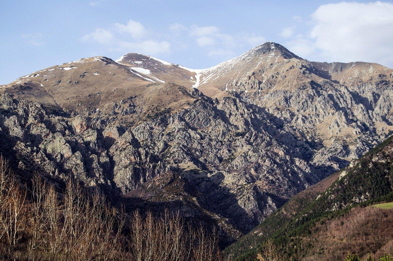
The upper mountain offers little protection from wind, sun, lightning, or cloud. Turn around if the summit disappears, thunder is possible, the group falls behind schedule, or navigation becomes uncertain. Winter and lingering snow require training and equipment beyond this guide—do not treat a green summer photo as a year-round promise.
Set an absolute turnaround—for example, “on the summit by 13:00 or we reverse”—before leaving town. Ambition expands on the climb; pre-agreed times shrink it again.
Who This Day Is For
Taga from Ribes suits fit hikers who already manage long continuous ascent and can navigate when paint marks fade in pasture. It is a poor first Catalan mountain day and a poor choice with guests who expected a “nice walk from the station.” If anyone in the group needs frequent long rests on steep ground, choose a shorter Ribes valley circuit instead.
Mobile coverage is patchy high up. Tell someone your plan, carry a small first-aid kit, and keep one charged phone in airplane mode with offline maps.
A Lower Fallback in the Same Valley
If conditions are poor, keep Ribes as the destination: take a signed lower valley walk, eat in town, and return by rail. Alternatively, use the same station base for the rack railway into Vall de Núria, where the train absorbs the altitude and the walking can stay modest. Do not substitute another high objective on the spot simply because Taga is off.
A summit is optional. Returning with daylight, energy, and the correct train is part of the route. Fit hikers who want the view should treat Taga as the day’s only mountain commitment, not a warm-up before Núria or another peak.
Related guides
- Pedraforca Hiking Routes: Choose a View Walk, Circuit or Summit
Choose the right Pedraforca day by comparing a moderate Saldes viewpoint circuit, the full mountain circuit, and the technical summit.
- Cadí-Moixeró Hiking Guide: Planning a Responsible Pyrenees Day
Prepare for a day walk in Cadí-Moixeró Natural Park with realistic route choice, weather checks, and mountain safety.
- Catalan Mountain Refuges: Booking, Packing and Shared-Space Etiquette
Prepare for a staffed Catalan mountain refuge with realistic booking questions, hut equipment, meal timing, and shared-room manners.